One of the world's largest metro systems, English signs throughout, fares from ¥3 — getting across this city of 24 million is genuinely straightforward once you know the system. Here is everything that matters.
Shanghai solved its own transit problem on a vast scale. The metro now runs more than 20 lines and over 500 stations — a network so comprehensive that you can reach virtually every tourist destination, hotel cluster, and neighbourhood without a taxi. Fares are distance-based: short hops cost ¥3–4, most central rides land at ¥4–5, and even the long run out to Pudong International Airport tops out at ¥9.
Two things to know before you step on: First, every entrance has a bag X-ray security check — not just at rush hour, always. Budget an extra few minutes at each entry. Second, last trains run before 23:00 and the exact time varies by line and direction. Heading out for a late dinner or show? Verify the last train on your return line, or plan to use DiDi.
The single most useful thing you can do before leaving home: set up Alipay and link a Visa or Mastercard through its international mode. That one app covers the metro, taxis, DiDi, restaurants, and most shops. Details in the Alipay & WeChat Pay guide.
Your first choice for virtually every journey. Clean trains, English signage throughout, and reliable headways of 3–6 minutes during the day.
Hours are roughly 05:30–23:00, though this varies by line and terminus. The system runs on distance-based fares: most rides within the inner city cost ¥4–5, Pudong Airport to the city centre is ¥9. Single-journey tokens, Alipay QR, WeChat Pay, and the rechargeable Shanghai Public Transport Card all work at the gates.
| Line | Route | Key stops |
|---|---|---|
| Line 2 (the spine) | Hongqiao Airport ↔ Pudong Airport (PVG) | Hongqiao Hub · People's Square · Nanjing East Rd · Lujiazui · PVG |
| Line 1 | SW suburbs ↔ north | People's Square · Huangpi South Rd · Shaanxi South Rd · Hengshan Rd |
| Line 10 | Inner ring | Yu Garden · Xintiandi · People's Square · Jing'an Temple |
| Line 7 | NW suburbs ↔ Pudong | Jing'an Temple · Changshu Rd · Lujiazui |
| Line 9 | Songjiang ↔ east | Dapuqiao (Tianzifang) · Lujiazui |
| Line 16 | South Shanghai ↔ Disney | Shanghai Disney Resort (change from Line 2 at Longyang Rd) |
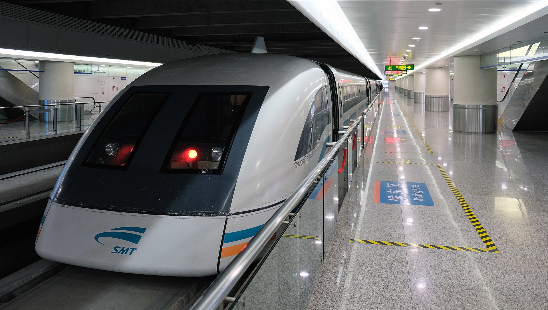
Easiest for visitors. Open Alipay, tap Metro or Public Transport, scan at the gate. No token, no card. Set this up at home.
Same concept via a WeChat mini-program. Open WeChat, find the Shanghai Metro mini-program, scan at the gate. Works on all lines.
Buy from machines inside every station. Machines have English menus and take coins, notes, and sometimes QR payment. Good fallback if Alipay isn't set up yet.
The Shanghai Public Transport Card (交通卡) is rechargeable and works on metro, buses, and ferries. Buy and top up at station service windows.
Honest summary: Alipay is worth setting up even if the metro is your only reason, because it also handles taxis, DiDi, restaurants, and nearly every shop in the city. Read the step-by-step setup in the Alipay & WeChat Pay guide before you travel.
Shanghai's taxis are metered and the flag-fall is around ¥14–16 for the first 3 km, then roughly ¥2.5 per km after that. A late-night surcharge of around 30% applies from 23:00 to 05:00. Traffic delays add up — during peak hour, DiDi often works out faster and cheaper because the app routes more efficiently.
The one practical tip that makes taxis actually work: have your destination written in Chinese characters. Most drivers speak little or no English. A hotel business card, or a Google Translate screenshot of the address in Chinese, sorts this every time.
DiDi + Maglev
DiDi is the dominant ride-hail app in China, with an English-language interface. Type your destination in English or Chinese; the app locates it and shows you a fare estimate before you confirm. Payment links directly to Alipay. DiDi is the right call when the metro has closed for the night, when you have luggage, or when you are travelling to somewhere that requires multiple line changes.
The photo on this card shows the Maglev train — a separate, spectacular option for the Pudong Airport run. It covers the 30 km to Longyang Road in 8 minutes at up to 431 km/h, fare ¥50 (¥40 with a boarding pass). You then connect to Line 2 at Longyang to reach the city centre. It is not the most practical airport transfer, but it is an experience worth having at least once.
River Ferry
The commuter ferry is actual public transport that Shanghai residents use to cross the Huangpu River every day. It costs ¥2 per trip and runs roughly every 10–15 minutes. The most useful crossing for visitors runs between Jinling East Road pier (a short walk from The Bund) and Dongchang Road pier in Pudong.
During those ten minutes on the water, you get a panoramic, water-level view of both The Bund and the Pudong skyline simultaneously — the perspective that no riverside promenade can give you. For two yuan, it is one of the best things in the city.
Shanghai's bus network covers hundreds of routes, reaching corners of the city the metro does not. Fare is typically ¥2 per journey, payable by Transport Card, cash (exact change into the box), or Alipay on some routes.
Honest note: bus stop signs and route numbers are almost entirely in Chinese, and there are no English-language timetables. For most visitors, the metro is a much easier first choice. Buses make sense for specific neighbourhoods not on the metro, and work well when combined with Amap (Gaode), which has accurate Shanghai bus data in its transit directions.
This matters more than people expect. Google Maps' public transit data for mainland China is unreliable — even with a VPN, route guidance for the metro and buses is frequently wrong or simply absent. Two apps give accurate, real-time transit directions without any workaround:
Amap has accurate, live data for every metro line, bus route, and intercity train in China. You can search destinations in English; the transit planner gives you step-by-step directions including which exit to use. Download it from the App Store or Play Store before you arrive — no VPN required to use it.
Apple Maps in China uses Amap's data as its backend, which means its transit directions for the Shanghai metro are accurate. If you have an iPhone, this is the path of least resistance — no extra app needed, no VPN, and it integrates with your existing Maps workflow.
If you want LINE, Instagram, Gmail or full Google Maps while in China, you will need a VPN installed and tested before you fly — most VPN websites are blocked once you are inside the country. See the full breakdown at the China internet, VPN and eSIM guide.
If there is one preparation that makes a difference, it is this: open Alipay, link your Visa or Mastercard through the international mode, and locate the Metro QR feature in the app before you leave home. When you land at Pudong Airport and walk up to the metro gate, you will tap the phone and walk straight through — no queuing at a token machine, no hunting for the right screen while tired and jet-lagged.
One more practical note: avoid peak hours if you can — 08:00–09:00 and 17:00–19:00 on the main inner-city lines (especially Lines 1, 2 and 10) are genuinely crowded. If you are arriving from the airport or heading there, shifting your journey outside these windows makes the whole experience easier.