Work your way down from the summit
Listed top to bottom — reach the summit early while the air is clear, then catch the other stops on the way down.
The goal for most people is the sign at the top reading "highest point in Thailand" — it sits right by the car park, only a few steps away, ready for the obligatory photo. This is also where you will find the stupa holding the remains of King Inthawichayanon, the last ruler of Chiang Mai, after whom the mountain is named.
Beside the summit runs the Ang Ka nature trail, a short loop boardwalk of about 360 metres that carries you through cloud forest so wet that moss and ferns blanket everything in green. It is a kind of mossy mountain woodland you rarely see in Thailand — cool, still, often with thin mist drifting between the trees. The walk is easy and suitable for everyone, including children and older travellers, and takes around 30–45 minutes.
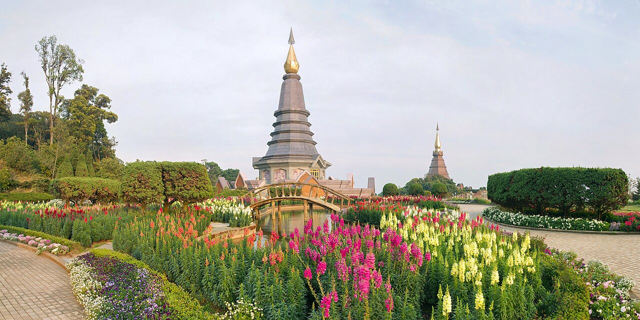
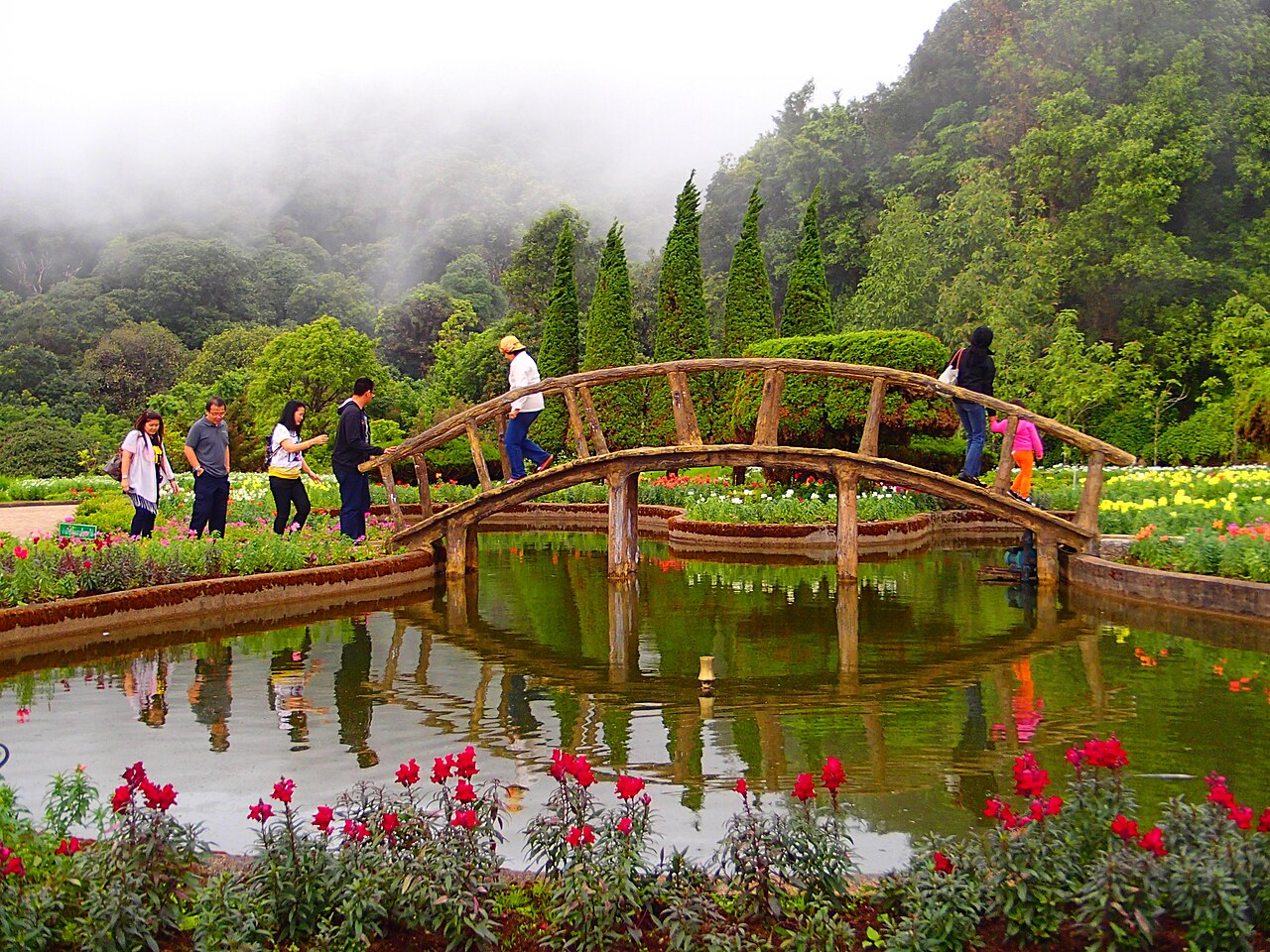
A little below the summit stand the Naphamethanidon pagoda, built in honour of the late King Rama IX, and its twin the Naphaphonphumisiri, dedicated to the late Queen Mother. They sit on separate ridge tops within sight of each other and were raised by the Royal Thai Air Force between 1987 and 1992. Around them, terraced cool-climate flower gardens bloom in turn through the seasons, the bright flowers set against the mauve-brown chedis and a backdrop of mountain ranges. This is the postcard image of Doi Inthanon.
An escalator carries those who would rather not climb up to the top level. On a clear day the terraces look out over ridgeline after ridgeline fading into the distance; on a misty one, the whole scene softens into something gentler.
There are several waterfalls along the road up and down the mountain, but the largest and most worthwhile is Wachirathan. Water drops from a rock face roughly 20 metres high into the pool below with such force that spray fills the entire gorge. On a sunny day a rainbow often hangs in the mist, and standing near the base you feel the cold and the fine spray reaching you.
There is a car park and a short paved path from the parking area to the viewing point, so it is an easy stop to stretch your legs on the way down from the summit. In the rainy season the falls are at their most powerful and spectacular, but the path turns slippery — watch your footing.
On the lower slopes sits Ban Mae Klang Luang, a village of the Pgakenyaw (Karen) people who have farmed rice terraces stepping down the hillsides for generations. In the rainy season the paddies are vivid green; as the rains end and the cool season begins (roughly late October into November) the rice ripens to gold across the whole valley, which is the loveliest time to come. There are viewpoints over the terraces and small paths leading through the fields.
The village grows arabica coffee on the mountain, with local cafés and simple family-run homestays where you can spend the night. Wake early to a valley full of mist over the terraces — and staying here puts money directly into the community. Nearby is Pha Dok Siao waterfall, an easy walk in, which once featured in a popular Thai TV drama.
For anyone who wants a proper walk rather than a short stroll, the Kew Mae Pan nature trail is the highlight. It runs about 3 km as a loop, passing through dense montane forest before opening onto exposed grassy ridge with the valley falling away below. On a clear cool-season morning you look out over a sea of cloud filling the valley — a view many people rate as the finest on Doi Inthanon.
One honest note: the trail is open only during the tourist season, roughly November to May, and closes in the rains to let the land recover. You must take a local guide (a small fee per group), and the walk takes around 2–3 hours with a fair bit of up and down. Bring proper walking shoes and water.